
As part of our augmented reality research at the West Virginia University GeoVirtual Lab, we spent a considerable amount of time working on voice recognition for geo path finding and direction. You have to remember that in 2002, the US did not allow developer access to the GPS chipset on mobile phones, so you had to improvise.
The concept was simple: create "geopoints" or objects spatially embedded in 3D space that aligned with the physical environment. Each geopoint had 'collision detection' so that if a person walked into one, it would trigger its behavior. In this case we were experimenting with stoplights, places of interest, or other obstacles that a visually impared person may encounter.
This work was partially funded by US Dept of Education SBIR grants and the West Virginia Higher Policy Commission.
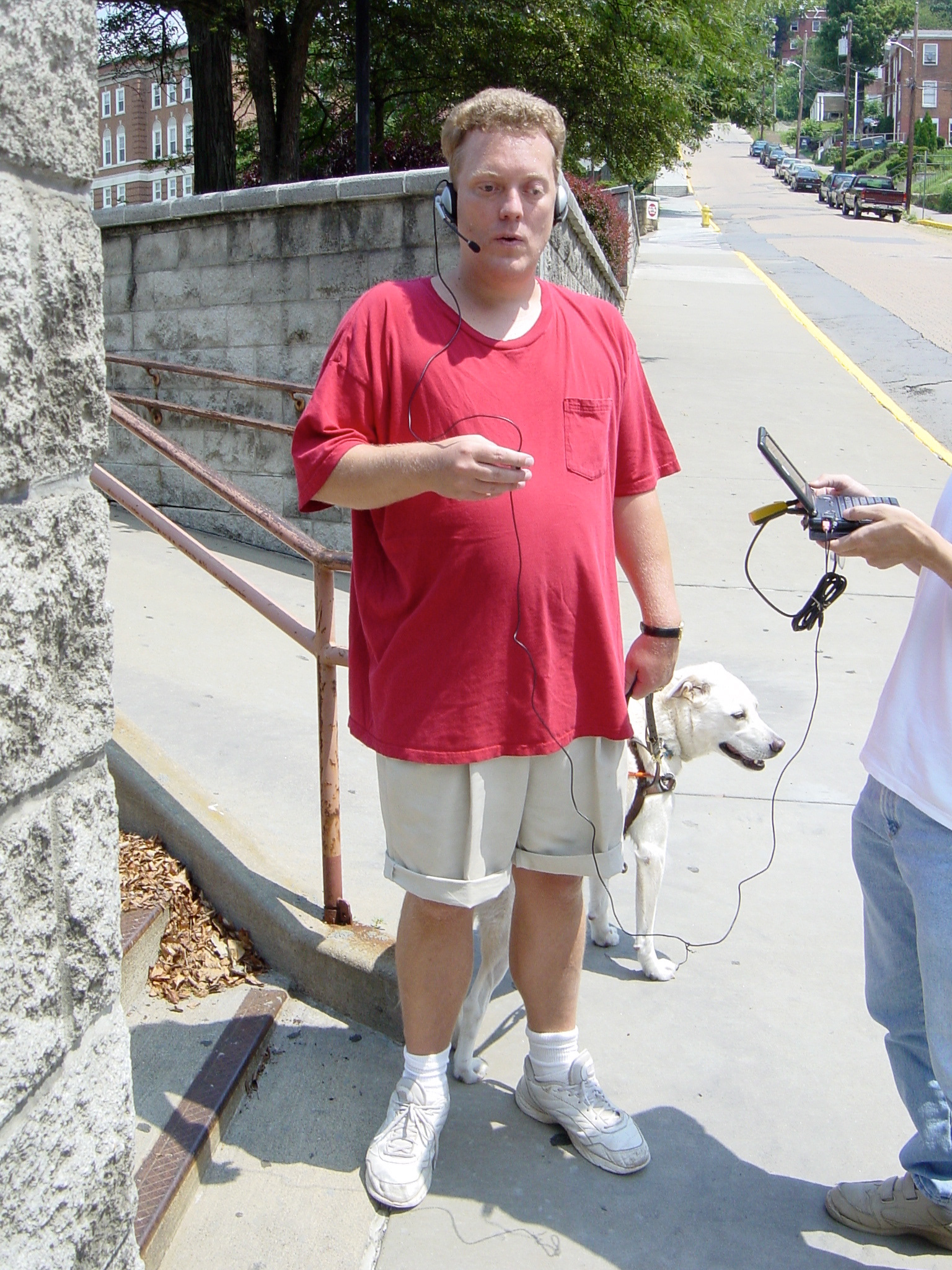
The user is now asking the system "What is around me?" to gain a better awareness of the environment.
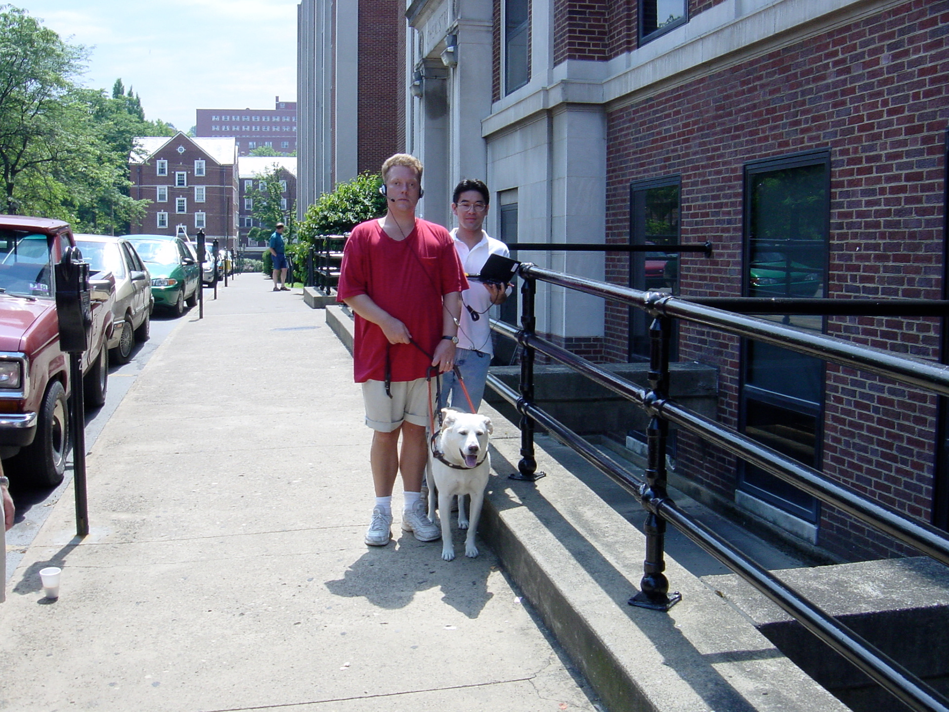
The user walking down a street with the system letting him know ahead of time that there were stoplights coming up in 50 feet.